See any data center site. From above. Today.
Ask a question about a place and a time. We answer it with satellite and aerial imagery. One transaction — no contracts, no GIS team, no waiting.
Free samples included · pay per answer
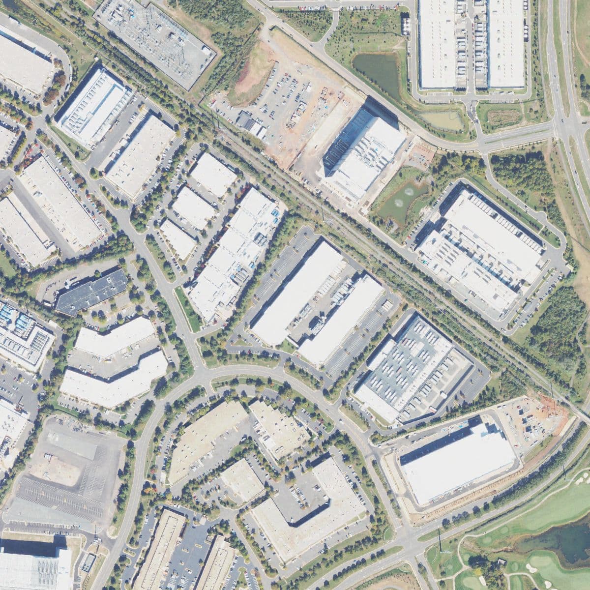
A: Two buildings are: one has its roof only partly decked with a laydown yard beside it, and one is roofed but still ringed by bare earth. The rest are roofed, paved and parked on. Capture: Oct 11, 2023.
HOW IT WORKS
A question goes in. An answer comes back. The transaction closes.
Name a place and a time
Drop a pin or paste coordinates for any data center site, then ask your question — construction progress, substation status, land clearing, cooling plant footprint.
We pull the imagery
We source the best archive capture or task a fresh pass — satellite or aerial — and our analysts extract exactly what your question asks for.
You get the answer
A direct answer with annotated imagery and capture metadata lands in your inbox. Pay for that answer; the transaction closes. Done.
FREE SAMPLES
Real answers from real sites
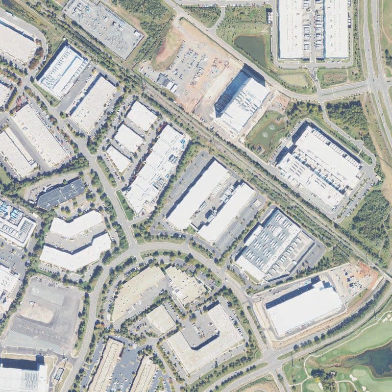
Which buildings here carry rooftop mechanical plant?
A: Several of the long halls show regular rows of rooftop units; the shorter buildings to the south-west have plain roofs and ordinary office parking.
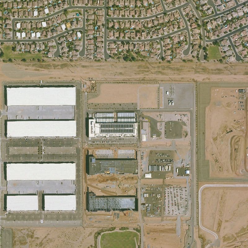
How far along is this campus, and what is left?
A: Several halls are roofed and two carry full rows of rooftop units; one more is still an open structural frame, and the graded pads to the east are empty.
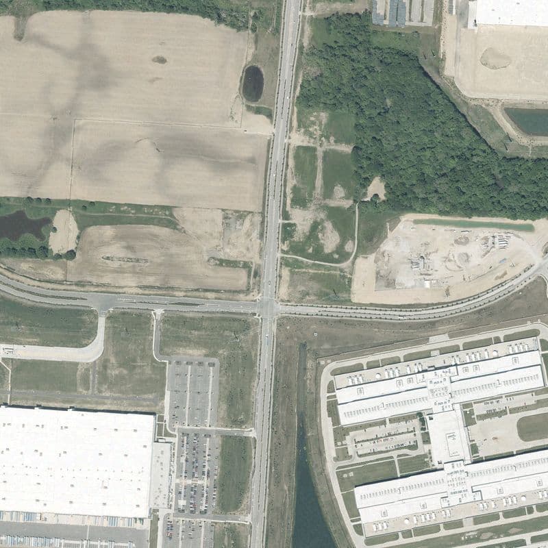
Is there room left to build beside this campus?
A: Yes — everything north of the highway is still farmland and woodland apart from one graded pad with equipment on it; the roofed buildings and their car park are all on the south side.
PRICING
Pay per answer. That's it.
No subscriptions, no seats, no minimums. Every plan starts with free samples.
Free Samples
Try it on any covered site with archive imagery.
Archive Answer
One question, answered from the best existing capture.
Fresh Tasking
We task a new satellite pass over your site this week.
Start with 3 free answers
Sign up, pick any data center site, ask your first question. No card required.